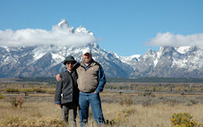
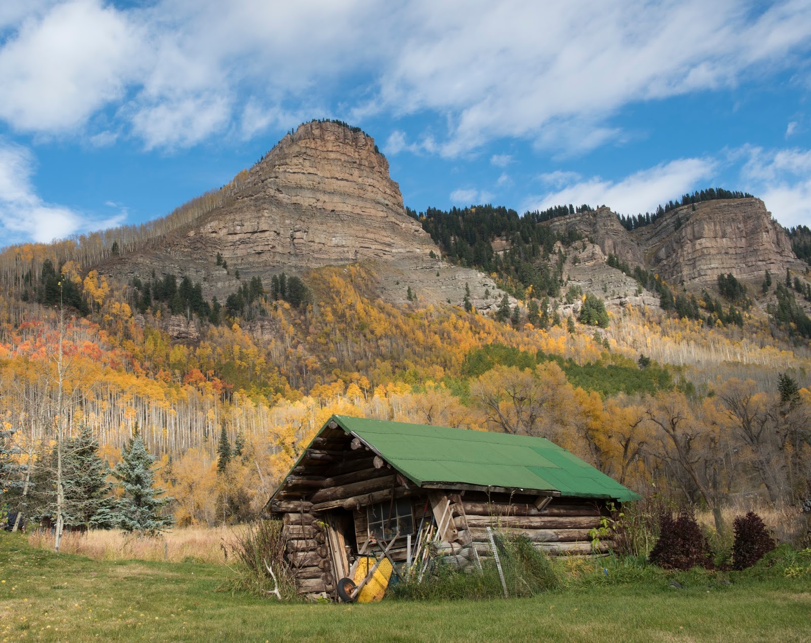
Here are some pics of the trip.

First we stopped at the dinosaur tracks just before the Dead Horse Point road. This is the same place where I wrecked the front bumper of my car driving through a sandy river bottom. This time we took the chance of getting stuck by going slower, and we got through just fine.

Any dinosaur with three toes was a scary beast to meet, I think.

These look like rodent or bird tracks. They're several million years old.

This looks like a modern-day dinosaur, somewhat in miniature.

Next we drove up to Dead Horse Point. I hadn't been here since I visited the park after dropping John and his high school friends at the Slick Rock bike trail quite a few years ago.

This is Newspaper Rock on the way to Canyonlands National Park.

Wooden Shoe Arch.

Dead wood in Canyonlands.

Rock in Canyonlands.

You can't go far into Canyonlands in a car. This is pretty much the end of the road. To go farther you need four-wheel drive or good hiking boots and bottles of water.

Canyonlands.

Canyonlands.

End of the road.
This is at a gas station heading up to Silverton from Durango on Highway 550.

On the Silverton highway.

Silverton, Colorado. Only Main Street is paved.

Every town up here is an old mining town.

A few miners who didn't want to go into the tourist business have left.

If you ever get a chance and have some extra dollars in your bank account, you should take the Durango-Silverton steam train up here.

The train actually passes this station, makes a left turn and stops right on the dirt road just before Main Street. The train is slow and has to stop for water halfway up the canyon, which can only be accessed by the train and foot trail. But it's a beautiful ride. Randy and I did not ride the train, but Chieko, Sara and I rode it a few years ago.

A Silverton alleyway.

Quite a few restaurants, bars and tourist shops.

I'm not sure who this guy is, but I thought he was cool.

This microbrewery uses old skis as a fence. Can you see my old Head ski on the far wall?

Outside a BBQ joint.

Same place.

A couple of stores have wooden Indian statues. This one got caught sniffing the cigar cutter.

Now we head up the Million Dollar Highway to Ouray. The road is not as scary or as high as we were led to believe. It does reach 11,000 feet, I think, but so does the Mirror Lake Highway. This road also does have a lot of twists and switchbacks.

And it's got some cool mining leftovers.

This area is being reclaimed, according to the signs posted around here.

If you look closely you can see that the windows of this abandoned house are black with curtains painted on.

I'm not sure what real estate costs here, but I'm guessing you could get this house cheap. Nice view.

I'm not sure whether the water here is safe to drink.

Your would likely not be iron or arsenic deficient if you pumped this water to your house.

Okay. So this is the dangerous part of the highway. It creeps along the side of this cliff. The outside lane would be scary if there were an outside lane. It slid off the mountain and is being rebuilt. Traffic was one-way only.

It looks like the highway department is replacing the dropped roadway with concrete.

This bridge is at the north end of the "dangerous" part of the highway. If you ever come this way and stop at the overlook, don't forget to walk out onto the little piece of overlook that juts over the cliff. Otherwise you'll miss this really cool waterfall.

This is Ouray. Pronounce it any way you like. The lady in the Silverton visitor center told Randy it's pronounced Ooray, "like hooray." The lady in the hamburger shop where we ate lunch said she grew up in Silverton, and she pronounced it Youray.

Ouray is home to the Box Canyon Falls. This is privately owned and costs $4 ($3 over 62).

The falls don't make good pictures, because they are in a mostly hidden crag. But they are loud and impressive. I think a spring visit, when there's more runoff, would be impressive.

I didn't know Dennis Weaver died in Ridgway, Colorado. This park is dedicated to him. Steven Spielberg's "Duel" is one of my favorite old creepy movies.

Weaver was a nature advocate. He wrote the following eagle poem:
I saw an eagle in the sky today
Flying free upon the wind
In my dreams I touched its wings
Caught the wind and flew with him
Oh, what a glory it was for me
Flying free up in the sky
For dreams become reality
If in our souls they never die
So seize the moment which is now
For your eagle lives within
Hold the vision of your truth
Dream your eagle and fly with him.

We ate dinner at the Stone House in Montrose. Yikes, this was a lot of food. Two "five-ounce boneless pork chops" had to be 10 ounces each.

We finished dinner and decided to find out what the high-school-size building behind this big Russell Stover store was. It turns out it's a Russell Stover factory, and this is the factory store. It was 8:50, and the store closed at 9:00, so we barely made it in time to get a three-pound box of Bloopers for $9.99. And a coupon for $1 off a hot fudge sundae.

The front of the store with the A-grade merchandise.

The back room with all the Bloopers.

Black Rock Canyon is a national park.

It was cut into mostly gneiss rock (look it up) by the Gunnison River.

This is pretty impressive. I wouldn't plan a family vacation here as a destination spot, but if you ever drive from Colorado Springs to Utah on Highway 50 or on 550 from Durango, you should plan to spend a half day here.

This is The Painted Wall. It's 2,300 feet tall, making it the tallest cliff in Colorado. Twice the height of the Empire State Building. The stripes are from molten rock that was intruded into cracks in the gneiss rock more than a billion years ago.

This is a pay phone. It isn't quite a billion years old, but close.

The town of Delta isn't large, but it does have a "collectibles" car dealership, if you call rusty, banged up cars on cinder blocks collectible.

The road to Black Rock Canyon actually goes from Montrose, so we drove the 20 miles back there after staying in Delta. And since we were there we had to use our Russell Stover $1 coupon. A layer of hot fudge in the bottom. A layer of ice cream, a layer of hot fudge (or sea salt caramel in Randy's case), a layer of ice cream, a layer of hot fudge, whipped cream, chocolate sprinkles, and a cherry.

I don't know that I've ever seen a blond bison before, but just north of Montrose was a whole family of them.