I left early Saturday morning and got to Arches National Park and Moab about 9:30 a.m. Okay, the park is one place the people bunch up, at least at the entrance. Cars were already lined up almost to the highway waiting to get in. I drove past Arches and parked at the Lions Park Trail Hub just over the Colorado River. Then I rode my bike into Arches, passing all the waiting cars.

It's a great ride, with a lot more climbing than I expected, almost 4,000 feet total.

Here I am at Balanced Rock.

And riding past some cool formations. Notice my orange Crash Test Dummy socks.

This is the trailhead to Devil's Garden. It's also the end of the road in the park. There's a picnic area and campground here, but the campground is closed this year because the Park Service closes the entire park every Sunday through Thursday from 7 p.m. to 7 a.m. to work on the roads.

Here I am enjoying a peanut better and raspberry jam sandwich, potato chips, a banana, and Gatorade.

I stayed at the Motel 6 in Green River, because I could. The next morning I drove to the "Dinosaur Stomping Grounds" trailhead. To get here, exit I-70 at Crescent Junction and head south toward Moab. At about nine miles from the junction, look for the dirt road to the left with a sign that says, "North Klondike Trails." Go this way. Turning onto this road is dangerous, because you likely have to stop dead in the passing lane, where cars are doing 70 mph or more, to wait for the two lanes of oncoming traffic to clear. It might be safer to pull off the road to the right and wait until the entire road is clear to cross. On the Klondike road, cross the railroad tracks and notice a sign that says "Dinosaur Tracks." Turn right here. Follow this dirt road around the hill and turn right at the "Dinosaur Stomping Grounds" sign. Follow this dirt road to the parking area. You'll pass a couple of mountain biking parking areas. The trail begins as this single track that is shared by hikers and bikers.

You'll head up slick rock. Look for the yellow dots. These indicate the hiking trail. The green stripes indicate a mountain bike trail. For a short distance they are the same trail.

The trail is very well marked. Notice the yellow dot in the foreground, and this sign has arrows pointing to the hiking trail.

Rock cairns also mark the way. On the last slick rock climb, the yellow dots quit, but the cairns are easy to follow.

I came here a day or so after a rain, so there was plenty of water. This made the hike very nice.

This is just a very peaceful, enjoyable place to walk.

Wildflowers.
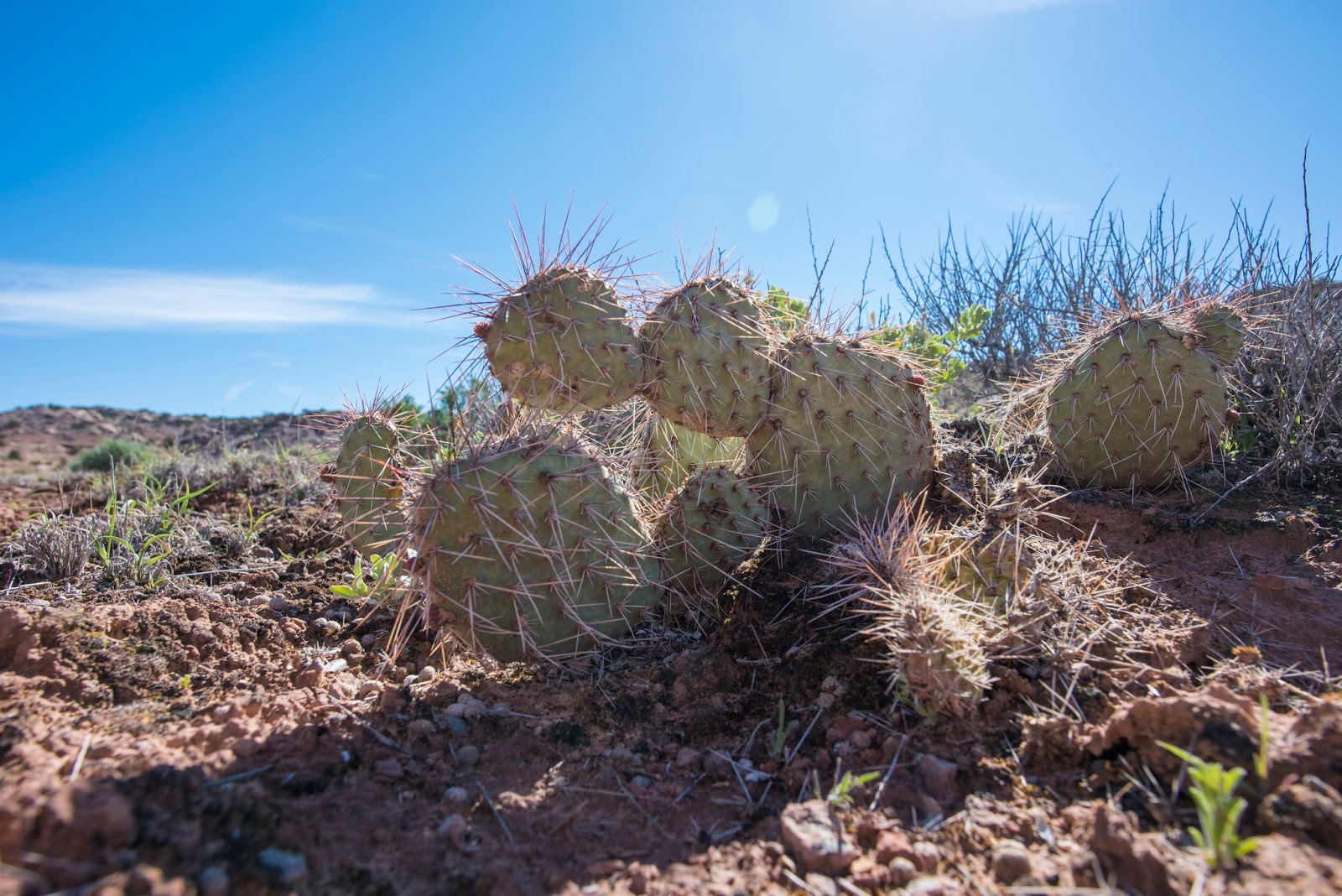
Cactus that I'm sure has pretty flowers at some point during the spring.

There were several of these little strings of pools in the sandstone. They were full of rain water that was draining from the top pool to each pool below.

Here I am at the Dinosaur Stomping Grounds. There are more than 2,300 tracks over 2 acres, but the ones near this sign are the most noticeable. They're all from theropods, which were three-toed carnivores who lived in this tropical area about 160 million years ago.

The rain water in the prints makes them really stand out. If you look closely, you can see a theropod running across the rock from left to right.

For size comparison.

This place has a lot of prints.

Wandering around the area, I found The Little Rock that Could. It really is holding up this giant bolder.

Here's Captain America ready to fight any bad guys or carnivorous beasts.

I thought this yellow flower was pretty against this dead juniper.

After the hike, I headed back to the Lions Park and switched to biking gear for ride down Highway 279 next to the Colorado River. The first stop is a sheer cliff where a lot of rock climbers are trying to kill themselves.

The second stop is this petroglyph panel. Notice the Native American etchings in the dark part of the rock above my bike.

I'm pretty sure this is a Fremont castle on the bluff. Or just a cool-looking natural formation.

Dead Horse Point is somewhere behind the bluff on the left. From Dead Horse Point you can see some evaporative ponds that are close to Potash, where I took this picture.

Here I am riding back along the Colorado River. This was a mostly flat 30-mile round trip ride with beautiful red rock scenery and very few cars or people.

On the third day I headed back toward home on I-70 and stopped at Fremont Indian State Park, just before I-70 connects to I-15 at Cove Fort. This is a pit house replica at the visitor center.

This park has quite a lot of petroglyphs (carvings in the rock) and pictographs (paintings on the rock). If you want to see thousands of these, spend a day in Nine Mile Canyon, which begins next to the Chevron Station in Wellington, UT. But if you are in the Clear Creek Canyon area on I-70 and don't have all day, Fremont Indian State Park is a great place to visit.

Petroglyphs.

This is called "Cave of 100 Hands." It actually contains 31 pictographs of hands that were made by Native Americans who painted their hands and pressed them onto the wall. I haven't been able to find out much about these hand people or why they did this, but if they were Fremont Indians, they lived here roughly 1,000 years ago.
See the squiggly orange lines on this white rock? The story is that a Native American baby died here, so the mother buried the child. She felt bad that the baby was alone and cold, so she came back later and painted the blanket to keep the child warm. There are several pieces of rock art in the park that are identified as "blankets," but some experts say there is no evidence that these people decorated their blankets the way Navajos do. They say these designs are more indicative of those on pottery. So I guess that clouds the story of this blanket.

I hiked up one "interpretive" trail without a guide paper. I thought I'd be able to make my own interpretation by what each marker was next to. But it seemed every marker was in front of a juniper tree. And junipers are all pretty much the same.

Here's my car as seen from the interpretive trail.

This is a real pioneer cabin, but it was relocated from another homestead to this location, which was the 1880 homestead of Joseph Lott, his wife and six children, who lived here for 30 years. Their cabin stood here until the 1970s. This cabin was owned by the Barnsons, who lived in it in Junction, Utah, until 1953, and the cabin was moved here in 1996.

This is Jedediah Smith's petrified horse. "Diah" was a mountain man from New York who helped explore and open much of the West.
No comments:
Post a Comment